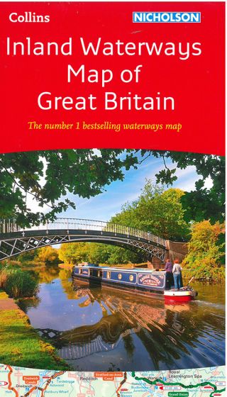
Nicholson Inland Waterways Map of Great Britain
117,50 kr
På lager
ISBN
9780008146535
This map is covering the entire network of canal and river navigations in England, Scotland and Wales, including newly restored/opened canals and rivers. The map identifies: narrow and broad canals; navigable rivers; tidal river navigations; waterways under construction. Also: contact telephone numbers and dimensions for each waterway; internet links. Clear insets of the Birmingham Canal Navigations, Scottish inland waterways, the Norfolk Broads and the London area. Scale 1:500.000.
| Forfatter | Collins |
|---|---|
| Forlag | Collins |
| Indbinding | Falset |
| Thema koder | Skibe og både: for alment interesserede, Storbritannien, Turistkort |
| Varegruppe | Maps & Guides |
| Ekspedition | SVB |
| Udgivelsesdato | 10. mar. 2016 |
| Sideantal | 0 |
| Bredde | 0 |
| Højde | 0 |
| Dybde | 0 |
| Vægt | 0 |
| Første udgave | 2016 |
| Oplagsdato | 10. mar. 2016 |
| Oplag | 0 |
| Udgave | 0 |
| ISBN-13 | 9780008146535 |
| ISBN-10 | 0008146535 |
| EAN | 9780008146535 |
| Sprog | Engelsk |
| Orignalsprog | Sproget kan ikke bestemmes |
| Illustreret i farver/sh | Nej |
Bøger i samme varegruppe: