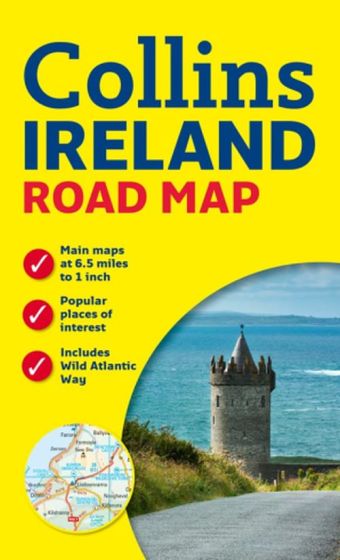
Ireland Road Map
88,75 kr
På lager
ISBN
9780008270353
Handy colour map of the whole of Ireland packed with detail and featuring clear and detailed mapping at a scale of 6.5 miles to 1 inch, ideal for easy journey planning. An essential purchase for motorists and perfect for both residents and visitors to Ireland. FEATURES: - All motorways, classified roads and many minor roads. - Places of tourist interest shown on the mapping. - Indexed street maps of 11 cities and towns - Dublin, Belfast, Cork, Limerick, Londonderry (Derry), Galway, Bangor, Waterford, Dun Laoghaire, Drogheda and Killarney. - Speed enforcement zones and fixed location speed cameras clearly shown. - Includes Blue Flag & Green Coast beaches. - Distance chart; distances marked on the roads in miles and kilometres. - Attractive layer colours showing land height.
| Forfatter | Collins |
|---|---|
| Forlag | Collins |
| Indbinding | Falset |
| Thema koder | Bykort, Højtider, begivenheder og årstider, Irland, Kort og atlas |
| Varegruppe | Maps & Guides |
| Ekspedition | SVB |
| Udgivelsesdato | 8. feb. 2018 |
| Sideantal | 0 |
| Bredde | 0 |
| Højde | 0 |
| Dybde | 0 |
| Vægt | 0 |
| Første udgave | 2018 |
| Oplagsdato | 8. feb. 2018 |
| Oplag | 0 |
| Udgave | 0 |
| ISBN-13 | 9780008270353 |
| ISBN-10 | 000827035X |
| EAN | 9780008270353 |
| Sprog | Engelsk |
| Orignalsprog | Sproget kan ikke bestemmes |
| Illustreret i farver/sh | Nej |
Bøger i samme varegruppe: