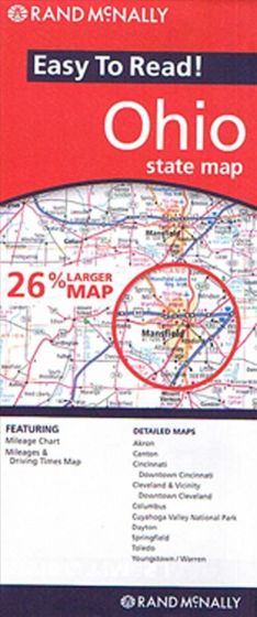
Ohio State Map
87,50 kr
På lager
ISBN
9780528881930
Rev. udgave 2010. Falset kort i målestokken 1:500.000 med afstands- og køretidstabeller. Indsatte kort over Akron, Canton, Cincinnati, Cleveland, Columbus, Cuyahoga Valley National Park, Dayton, Springfield, Toledo, Youngstown samt Warren.
| Forfatter | Rand McNally |
|---|---|
| Forlag | Rand McNally |
| Indbinding | Falset |
| Varegruppe | Maps & Guides |
| Ekspedition | SVB |
| Udgivelsesdato | 31. dec. 2010 |
| Sideantal | 0 |
| Bredde | 0 |
| Højde | 0 |
| Dybde | 0 |
| Vægt | 0 |
| Første udgave | 2010 |
| Oplagsdato | 31. dec. 2010 |
| Oplag | 0 |
| Udgave | 0 |
| Serie | Rand McNally |
| ISBN-13 | 9780528881930 |
| ISBN-10 | 0528881930 |
| EAN | 9780528881930 |
| Sprog | Engelsk |
| Orignalsprog | Engelsk |
| Illustreret i farver/sh | Nej |


