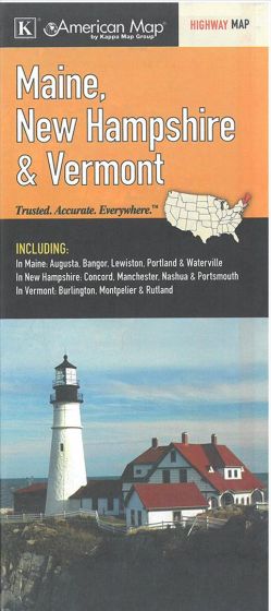
American Map: Maine, New Hampshire & Vermont
78,75 kr
På lager
ISBN
9780762573783
The Maine, New Hampshire and Vermont State fold map is a full-color, regional map, including insets of: Augusta, Bangor, Lewiston, Portland, and Waterville, in Maine; Concord, Manchester, Nashua, and Portsmouth, in New Hampshire; and Burlington, Montpelier, and Rutland, in Vermont. Variate scales.
| Forfatter | KappaMap |
|---|---|
| Forlag | KappaMap |
| Indbinding | Falset |
| Varegruppe | Maps & Guides |
| Ekspedition | SVB |
| Udgivelsesdato | 15. dec. 2013 |
| Sideantal | 0 |
| Bredde | 0 |
| Højde | 0 |
| Dybde | 0 |
| Vægt | 0 |
| Første udgave | 2013 |
| Oplagsdato | 15. dec. 2013 |
| Oplag | 0 |
| Udgave | 0 |
| ISBN-13 | 9780762573783 |
| ISBN-10 | 0762573783 |
| EAN | 9780762573783 |
| Sprog | Engelsk |
| Orignalsprog | Sproget kan ikke bestemmes |
| Illustreret i farver/sh | Nej |


