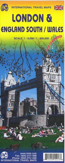
London & England South / Wales
98,75 kr
Udsolgt. Fås i anden udgave.
ISBN
9781553415213
Double-sided map with London on one side in scale 1:8.000 and England south and Wales on the other side. Liverpool and Manchester and down to the south coast.
The map shows A and B roads and smaller local roads at the scale 1:600.000. The maps shows castles, famous gardens, National Trust properties. Insert map of the Channel Islands.
Legend includes: International airports, airports, ferrylines, railway and stations, bus terminals, metrostations, zoos, fishing, caves, camps sites, accomodation, turist information centers, museums, theatres, cinemas, restaurants, libraries, bars, post offices, banks, churches, mosques, police stations, shopping centres, schools, universities, hospitals, stadiums, playing fields, golfing, theme parks, natural reserves, skiing, caves, viewpoints, lighthouses, castles and much more.
Printed on waterproof paper.
| Forlag | ITMB publishing |
|---|---|
| Varegruppe | Maps & Guides |
| Ekspedition | SVB |
| Udgivelsesdato | 14. jan. 2014 |
| Sideantal | 0 |
| Bredde | 0 |
| Højde | 0 |
| Dybde | 0 |
| Vægt | 0 |
| Første udgave | 2014 |
| Oplagsdato | 14. jan. 2014 |
| Oplag | 0 |
| Udgave | 3 |
| Serie | International Travel Maps |
| ISBN-13 | 9781553415213 |
| ISBN-10 | 1553415213 |
| EAN | 9781553415213 |
| Sprog | Engelsk |
| Orignalsprog | Sproget kan ikke bestemmes |
| Illustreret i farver/sh | Nej |


