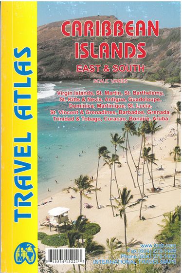
Caribbean Islands: East & South Travel Atlas
153,75 kr
På lager
ISBN
9781553415220
Travelatlas of Barbados, Grenada, Guadeloupe/Martinique, St. Kitts/Nevis, St. Lucia, St. Vincent, and both sets of Virgin Islands, in detail.
This atlas would be an excellent travel companion for anyone cruising the Caribbean (on a huge liner or in a yacht). It has 160 pages of maps and includes 18 town plans. This is definitely the most detailed mapping of the world in existence.
Legend Includes: Road by classification, Motorways, Main Roads, Ferry Routes, Railways, Lakes, Deserts, Swamps, Hospitals, Walterfalls, Motels, Hotels, Beaches and much more...
| Forlag | ITMB publishing |
|---|---|
| Varegruppe | Maps & Guides |
| Ekspedition | SVB |
| Udgivelsesdato | 1. mar. 2014 |
| Sideantal | 0 |
| Bredde | 0 |
| Højde | 0 |
| Dybde | 0 |
| Vægt | 0 |
| Første udgave | 2014 |
| Oplagsdato | 1. mar. 2014 |
| Oplag | 0 |
| Udgave | 1 |
| Serie | International Travel Maps |
| ISBN-13 | 9781553415220 |
| ISBN-10 | 1553415221 |
| EAN | 9781553415220 |
| Sprog | Engelsk |
| Orignalsprog | Sproget kan ikke bestemmes |
| Illustreret i farver/sh | Nej |


