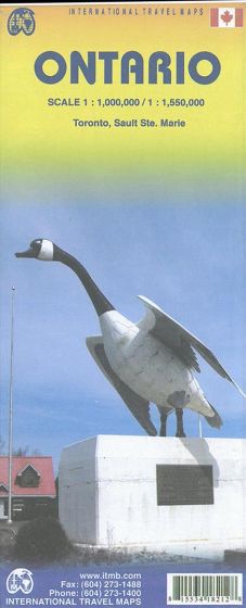
Ontario
110,00 kr
Udsolgt. Fås i anden udgave.
ISBN
9781553418214
In geographic terms, Ontario is larger than most countries. It can be divided into three rough regions, the southwestern agricultural belt, the southeastern historical belt and everything north of Muskoka. The Province is the industrial heartland of Canada, with many towns and cities in the southern third. Toronto is the fourth largest city in the Canada/USA part of North America, and is a vibrant city. This double-sided map shows the southern third on one side, along with three good insets of Toronto, and the other side is filled with hundreds of thousands of lakes (Canada has over 12 million lakes) and includes an inset of the border area at Sault Ste. Marie. Ontario was founded by British American settlers loyal to the crown in the late 1770s, most notably in the Kingston/Ottawa area but also in the London/Brampton region. Northern parts in 1:550.000 and southern part in 1:1 mio.
| Forlag | ITMB publishing |
|---|---|
| Varegruppe | Maps & Guides |
| Ekspedition | SVB |
| Udgivelsesdato | 15. sep. 2014 |
| Sideantal | 0 |
| Bredde | 0 |
| Højde | 0 |
| Dybde | 0 |
| Vægt | 0 |
| Første udgave | 2014 |
| Oplagsdato | 15. sep. 2014 |
| Oplag | 0 |
| Udgave | 2 |
| Serie | International Travel Maps |
| ISBN-13 | 9781553418214 |
| ISBN-10 | 1553418212 |
| EAN | 9781553418214 |
| Sprog | Engelsk |
| Orignalsprog | Sproget kan ikke bestemmes |
| Illustreret i farver/sh | Nej |


