Africa North East
110,00 kr
På lager
ISBN
9781553419211
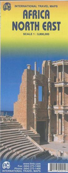
This map covers a large area and tries to do so fairly and in detail. The essential areas of coverage are Libya and Egypt in the north, with Sudan/South Sudan, Ethiopia/Eritrea in the middle, and Kenya/Uganda in the south, with a fair portion of Tanzania and Congo thrown in simply because it fits. Being a regional map, it is useful for the ´big´ picture. It is quite detailed, showing roads, towns, index and major touristic sites. Scale 1:3,8 mio.
| Forlag | ITMB publishing |
|---|---|
| Thema koder | Afrika, Turistkort |
| Varegruppe | Maps & Guides |
| Ekspedition | SVB |
| Udgivelsesdato | 19. jun. 2014 |
| Sideantal | 0 |
| Bredde | 0 |
| Højde | 0 |
| Dybde | 0 |
| Vægt | 0 |
| Første udgave | 2014 |
| Oplagsdato | 19. jun. 2014 |
| Oplag | 0 |
| Udgave | 1 |
| Serie | International Travel Maps |
| ISBN-13 | 9781553419211 |
| ISBN-10 | 1553419219 |
| EAN | 9781553419211 |
| Sprog | Engelsk |
| Orignalsprog | Sproget kan ikke bestemmes |
| Illustreret i farver/sh | Nej |
Bøger i samme varegruppe: