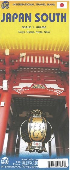
Japan South
110,00 kr
Udsolgt. Fås i anden udgave.
ISBN
9781771293839
Folded map of Japan from north of Tokyo (Toyama/Nagano/Utsunomiya) and south. This map covers the popular Tokyo to Osaka Route, and west to Hiroshima and south all the way to Kagoshima, the end of the Shinkansen rail network. Japan is seen as being a smallish country, but is densely populated, so having a map at this scale allows is to open up the information and show its many attractions more easily. The map also includes insets of the most southerly island chains of Okinawa, Senkaku and Sakishima, as wall as city insets of Kyoto, Nara and Osaka.
| Undertitel | Southern Japan |
|---|---|
| Forlag | ITMB publishing |
| Thema koder | Japan, Turistkort |
| Varegruppe | Maps & Guides |
| Ekspedition | SVB |
| Udgivelsesdato | 3. jun. 2015 |
| Sideantal | 0 |
| Bredde | 0 |
| Højde | 0 |
| Dybde | 0 |
| Vægt | 0 |
| Første udgave | 2015 |
| Oplagsdato | 3. jun. 2015 |
| Oplag | 0 |
| Udgave | 1 |
| Serie | International Travel Maps |
| ISBN-13 | 9781771293839 |
| ISBN-10 | 1771293837 |
| EAN | 9781771293839 |
| Sprog | Engelsk |
| Orignalsprog | Sproget kan ikke bestemmes |
| Illustreret i farver/sh | Nej |


