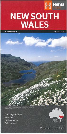
New South Wales Handy Map
108,75 kr
Udsolgt. Fås i anden udgave.
ISBN
9781865007359
A fully indexed state map of New South Wales at a scale of 1:1,400,000. Marked on the map are national parks, camping areas, caravan parks, rest areas, points of interest and 24-hour fuel accompanied by a distance grid. - Comprehensive road detail - Road identification numbering
Size (flat): 500mm x 875mm
Size: (folded) 125mm x 250mm
Size (flat): 500mm x 875mm
Size: (folded) 125mm x 250mm
| Forlag | Hema Maps |
|---|---|
| Varegruppe | Maps & Guides |
| Ekspedition | SVB |
| Udgivelsesdato | 1. dec. 2014 |
| Sideantal | 0 |
| Bredde | 0 |
| Højde | 0 |
| Dybde | 0 |
| Vægt | 0 |
| Første udgave | 2014 |
| Oplagsdato | 1. dec. 2014 |
| Oplag | 0 |
| Udgave | 13 |
| Serie | Hema Maps |
| ISBN-13 | 9781865007359 |
| ISBN-10 | 1865007358 |
| EAN | 9781865007359 |
| Sprog | Engelsk |
| Orignalsprog | Sproget kan ikke bestemmes |
| Illustreret i farver/sh | Nej |
Bøger i samme varegruppe: