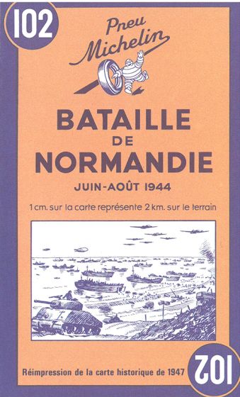
Battle of Normandy - Bataille de Normandie: June-August 1944
95,00 kr
På lager
ISBN
9782067002623
Historic WWII reproduction map.
A detailed folded map of Normandy at a scale of 1:200,000 showing the main sites of the summer 1944 battle. This map is an antique-feeling reproduction of the map originally published by Michelin in 1947.
The main map includes place names and features special icons denoting battle dates and parachute drops, as well as an inset showing the broader movements of the military forces.
| Forfatter | Michelin |
|---|---|
| Forlag | Michelin |
| Indbinding | Falset |
| Varegruppe | Maps & Guides |
| Ekspedition | SVB |
| Udgivelsesdato | 1. okt. 2008 |
| Sideantal | 0 |
| Bredde | 0 |
| Højde | 0 |
| Dybde | 0 |
| Vægt | 0 |
| Første udgave | 2008 |
| Oplagsdato | 1. okt. 2008 |
| Oplag | 0 |
| Udgave | 0 |
| Serie | Michelin Historical Maps |
| ISBN-13 | 9782067002623 |
| ISBN-10 | 2067002627 |
| EAN | 9782067002623 |
| Sprog | flere sprog |
| Orignalsprog | Sproget kan ikke bestemmes |
| Illustreret i farver/sh | Nej |


