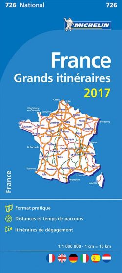
France Route Planning 2017
95,00 kr
Udsolgt. Fås i anden udgave.
ISBN
9782067218727
Updated annually, MICHELIN National Map France Route Planning (map 726) will give you an overall picture of your journey thanks to its clear and accurate mapping scale 1/1 000 000. Our map will help you easily plan your safe and enjoyable journey in France thanks to a comprehensive key, a complete name index as well a clever time & distance chart. Michelin's driving information will help you navigate safely in all circumstances. In addition, MICHELIN National Map France Route Planning includes information on service stations and areas so that you can have enjoyable break during your journey! With MICHELIN National Maps, find more than just your way! MICHELIN NATIONAL MAPS feature: - Up-to-date mapping - A scale adapted to the size of the country - A clear and comprehensive key - Distance and time chart - Place name index - Driving and road safety information - Tourist sights information.
| Forlag | Michelin |
|---|---|
| Thema koder | Frankrig, Turistkort |
| Varegruppe | Maps & Guides |
| Ekspedition | SVB |
| Udgivelsesdato | 9. jan. 2017 |
| Sideantal | 0 |
| Bredde | 0 |
| Højde | 0 |
| Dybde | 0 |
| Vægt | 0 |
| Første udgave | 2017 |
| Oplagsdato | 9. jan. 2017 |
| Oplag | 0 |
| Udgave | 0 |
| Serie | Michelin National Maps |
| ISBN-13 | 9782067218727 |
| ISBN-10 | 2067218727 |
| EAN | 9782067218727 |
| Sprog | Engelsk |
| Orignalsprog | Sproget kan ikke bestemmes |
| Illustreret i farver/sh | Nej |


