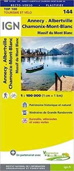
TOP100: 144 Annecy - Albertville Chamonix-Mont-Blanc
98,75 kr
På lager
ISBN
9782758543770
IGN 3 in 1map, for Walking, cycling, motoring. By car:- Updated road and motorways network- Cultural, historical and natural heritage- National and regional parks boundariesBy cycle:- Accurate scale : 1 cm = 1 km- Tertiary road network appropriate to secure round trip- Relief represented with contours. Walking and hiking:- GR® trail courses, detailed features: churches, castles, caves, panoramic viewpoints
| Forfatter | Calum Macleod |
|---|---|
| Forlag | IGN |
| Thema koder | Albertville, Annecy, Chamonix, Mont Blanc-massivet, Turistkort |
| Varegruppe | Maps & Guides |
| Ekspedition | SVB |
| Udgivelsesdato | 22. maj 2018 |
| Sideantal | 0 |
| Bredde | 0 |
| Højde | 0 |
| Dybde | 0 |
| Vægt | 0 |
| Første udgave | 2018 |
| Oplagsdato | 22. maj 2018 |
| Oplag | 0 |
| Udgave | 0 |
| Serie | IGN TOP100 |
| ISBN-13 | 9782758543770 |
| ISBN-10 | 275854377X |
| EAN | 9782758543770 |
| Sprog | Engelsk |
| Orignalsprog | Sproget kan ikke bestemmes |
| Illustreret i farver/sh | Nej |
Bøger i samme varegruppe: