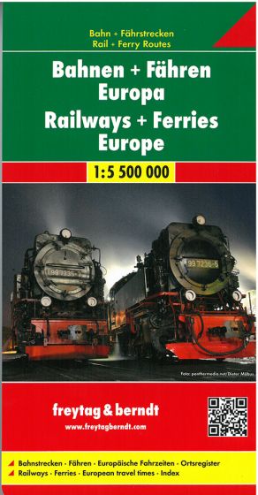
Railways + Ferries Europe
125,00 kr
På lager
ISBN
9783707916898
This folded map in scale 1:5,5 mill. stretches from the North Cape to the Red Sea and from Marrakech to Tashkent. It has been developed for railway enthusiasts, trainspotters and interrailers and shows railways, high-speed routes and ferry connections.
The back of the maps shows the most important international train connections between european capital cities.
| Forfatter | Freytag & Berndt |
|---|---|
| Forlag | Freytag & Berndt |
| Indbinding | Falset |
| Thema koder | Europa, Turistkort |
| Varegruppe | Maps & Guides |
| Ekspedition | Scanvik |
| Udgivelsesdato | 16. maj 2017 |
| Sideantal | 0 |
| Bredde | 0 |
| Højde | 0 |
| Dybde | 0 |
| Vægt | 0 |
| Første udgave | 2017 |
| Oplagsdato | 16. maj 2017 |
| Oplag | 0 |
| Udgave | 0 |
| ISBN-13 | 9783707916898 |
| ISBN-10 | 3707916898 |
| EAN | 9783707916898 |
| Sprog | Flere sprog |
| Orignalsprog | Sproget kan ikke bestemmes |
| Illustreret i farver/sh | Nej |
Bøger i samme varegruppe: