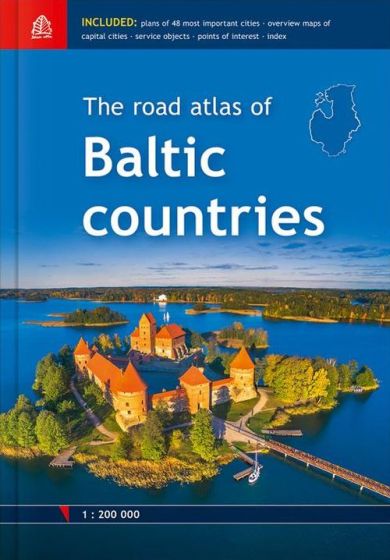
The Road Atlas of Baltic Countries
398,75 kr
På lager
ISBN
9789984077413
Atlas of Latvia, Estonia and Lithuania in scale 1:200.000.
City plans of the 48 largest cities in scale 1:20.000.
Tallinn, Riga and Vilnius vicinity maps in scale 1:85.000. Information about points of interest and tourism services. Index of place names. Size 21,5 x 30,6 cm. Legend in Latvian, English, Estonian, Lithuanian, German, Russian
City plans of the 48 largest cities in scale 1:20.000.
Tallinn, Riga and Vilnius vicinity maps in scale 1:85.000. Information about points of interest and tourism services. Index of place names. Size 21,5 x 30,6 cm. Legend in Latvian, English, Estonian, Lithuanian, German, Russian
| Forlag | Jana Seta |
|---|---|
| Thema koder | Bilatlas og vejkort, Letland |
| Varegruppe | Maps & Guides |
| Ekspedition | SVB |
| Udgivelsesdato | 1. jun. 2018 |
| Sideantal | 254 |
| Bredde | 0 |
| Højde | 0 |
| Dybde | 0 |
| Vægt | 0 |
| Første udgave | 2018 |
| Oplagsdato | 1. jun. 2018 |
| Oplag | 0 |
| Udgave | 0 |
| ISBN-13 | 9789984077413 |
| ISBN-10 | 9984077411 |
| EAN | 9789984077413 |
| Sprog | Engelsk |
| Orignalsprog | Sproget kan ikke bestemmes |
| Illustreret i farver/sh | Nej |
Bøger i samme varegruppe: