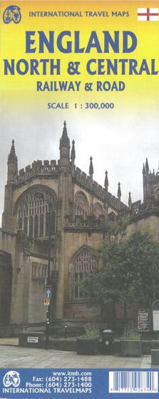
England: North & Central
110,00 kr
På lager
ISBN
9781771292634
1st edition 2019. Scale 1:300.000. Coverage is from Birmingham/Peterborough north to York on side one and from Lancaster north to the Scottish border at Berwick-upon-Tweed. As the border angles in a southwesterly angle, the map also includes much of the Scottish border region as far west as Dumfries. Being an area regularly serviced by rail (the worlds original railway line is on the map), we have emphasized rail connections for end users. However, we have also included roads for those driving or cycling.
Legend Includes:
England Boundary, Country Boundary, Capital, Motorway, Highway, Main Road, Railway, Theme Park, Museum, Point of Interest, Church, Cave, Hotel, River, Beach, Waterfall, Ferry, Harbour, Zoo, Golf Course, National Park, Park, etc.
| Forfatter | ITM Publications |
|---|---|
| Forlag | ITMB publishing |
| Indbinding | Falset |
| Thema koder | North & North East England, Turistkort |
| Varegruppe | Maps & Guides |
| Ekspedition | Scanvik |
| Udgivelsesdato | 30. aug. 2019 |
| Sideantal | 0 |
| Bredde | 0 |
| Højde | 0 |
| Dybde | 0 |
| Vægt | 0 |
| Første udgave | 0 |
| Oplagsdato | 30. aug. 2019 |
| Oplag | 0 |
| Udgave | 1 |
| Serie | International Travel Maps |
| ISBN-10 | 1771292636 |
| EAN | 9781771292634 |
| Sprog | Engelsk |
| Illustreret i farver/sh | Nej |


