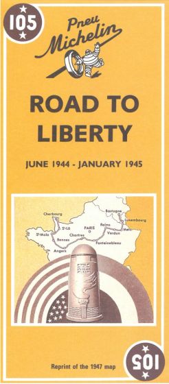
Road to Liberty - Voie de la Liberté
95,00 kr
Mangler pt.
ISBN
9782067002654
Michelin's Road to liberty Map 105 covers the region associated with France's liberation between June 1944 and January 1945, at a scale of 1:500,000. This is a reprint of the 1947 map to commemorate the liberation of France. The map shows the route of the Allied Forces across northern France, from the Normandy beaches to Alsace. Also shown are liberation dates against individual places and the location of American war cemeteries for both World Wars. Text is included on the map sheet which describes key events and actions on the road to liberty. From Sainte-Mere-Eglise to Bastogne in Belgium, through Luxembourg: shows the main stages of the Liberation Legend/Key in French and English
| Forfatter | Michelin |
|---|---|
| Forlag | Michelin |
| Indbinding | Falset |
| Thema koder | 2. verdenskrig, Bilatlas og vejkort, Frankrig |
| Varegruppe | Maps & Guides |
| Ekspedition | Scanvik |
| Udgivelsesdato | 1. dec. 1997 |
| Sideantal | 0 |
| Første udgave | 0 |
| Oplagsdato | 1. dec. 1997 |
| Oplag | 0 |
| Udgave | 1 |
| Serie | Michelin Historical Maps |
| ISBN-10 | 2067002651 |
| EAN | 9782067002654 |
| Sprog | Engelsk |
| Illustreret i farver/sh | Nej |


