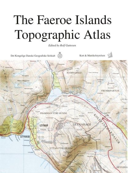
The Faroe Islands Topographic Atlas
175,00 kr
550
ISBN
9788777026553
This publication is distributed on behalf of the Royal Danish Society of Geography.
The Faeroe Islands Topographic Atlas is a competent presentation of the main characteristics of the geography of the Faeroe Islands. It is based on 31 map extracts of specially selected localities and constitutes a comprehensive description of traditional and modern Faroese society.
Besides cartographic analysis, the atlas includes results from the latest research. It describes life in the Faroe Islands and accounts for the conditions, past and present, that have left their mark on the cultural landscape.
| Forfatter | Redaktør Rolf Guttesen |
|---|---|
| Forlag | Det Kongelige Danske Geografiske Selskab |
| Indbinding | Indbundet |
| Varegruppe | Skole- og lærebøger, div. |
| Ekspedition | DBK |
| Udgivelsesdato | 1. jan. 1996 |
| Sideantal | 126 |
| Bredde | 0 |
| Højde | 0 |
| Dybde | 0 |
| Vægt | 0 |
| Første udgave | 0 |
| Oplagsdato | 1. jan. 1996 |
| Oplag | 1 |
| Udgave | 1 |
| ISBN-13 | 9788777026553 |
| ISBN-10 | 8777026551 |
| EAN | 9788777026553 |
| Sprog | dan |
| Orignalsprog | dan |
| Illustreret i farver/sh | Nej |


