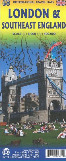
London and Southeast England
110,00 kr
Udsolgt. Fås i anden udgave.
ISBN
9781771294355
4th ed. 2016. We are pleased to issue our newly updated and much improved map of London; this time using waterproof paper. We have added a lot of touristic attractions, but also a number of pubs and restaurants. It is always a challenge to decide what to include; London has so many historic sites, museums, monuments, and interesting buildings that one has to be careful not to overload the map with too much information! The reverse side covers a more specific area of England; still too large an area to be 'properly' South East England' (which has a very specific meaning for the English), but covering the area as far west as Bristol, as far north as Nottingham, and as far east as Lowestoft. All motorways, A and B level roads and most C (or virtual laneways leading to tiny villages) are shown on the map, which would be very useful for anyone visiting London and wanting to explore Oxford, or Salisbury, or Worcester Cathedral, or Kidlington, as we just did. The map is printed on waterresistant paper in the scale 1:400.000 and London in 1:8.000.
| Forlag | ITMB publishing |
|---|---|
| Thema koder | Central London, South & South East England, Turistkort |
| Varegruppe | Maps & Guides |
| Ekspedition | SVB |
| Udgivelsesdato | 1. okt. 2016 |
| Sideantal | 0 |
| Bredde | 0 |
| Højde | 0 |
| Dybde | 0 |
| Vægt | 0 |
| Første udgave | 2016 |
| Oplagsdato | 1. okt. 2016 |
| Oplag | 0 |
| Udgave | 4 |
| Serie | International Travel Maps |
| ISBN-13 | 9781771294355 |
| ISBN-10 | 1771294353 |
| EAN | 9781771294355 |
| Sprog | Engelsk |
| Orignalsprog | Sproget kan ikke bestemmes |
| Illustreret i farver/sh | Nej |


