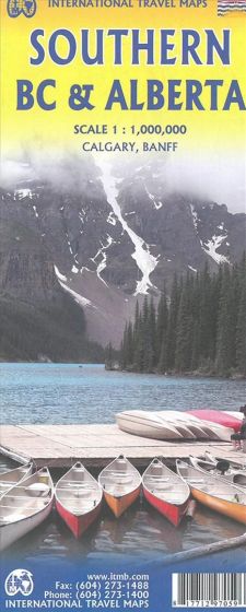
Southern British Columbia & Alberta
110,00 kr
På lager
ISBN
9781771297059
Scale 1:1.000.000. With inset maps of Calgary and Banff. Side One covers BC from the US border (with a carry-on to Seattle) north to Prince George and east to the Alberta border, with a carry-on to Calgary. All of Vancouver Island, the Okanagan Valley, and the Rock Mountain National Parks of Banff and Jasper, are included. The map is rich with wilderness campsite (almost 1,000 are shown, ski areas, fishing areas, even gas stations in more remote parts of the vast province. Side Two covers Alberta from somewhat north of Edmonton (the provincial capital) to the American border and a bit beyond, and from the Rocky Mountains east to a bit beyond the Saskatchewan border. This side focusses on the movement from the high Rockies to the foothills and plains of the enormous Canadian Prairies The highlights of this side of the map are showcased in our Top Attractions guide and include such world-class features as the Drumheller Dinosaur Museum, the world’s best, to the Columbia Icefield, one of the few in the world easily accessible to walk on. Naturally, the road network, train lines, urban areas, parks, and numerous attractions (who could pass up visiting Head-Smashed-In Buffalo Jump?) are all clearly shown.
| Forfatter | ITM Publications |
|---|---|
| Forlag | ITMB publishing |
| Indbinding | Falset |
| Thema koder | Alberta, British Columbia, Turistkort |
| Varegruppe | Maps & Guides |
| Ekspedition | SVB |
| Udgivelsesdato | 13. maj 2018 |
| Sideantal | 0 |
| Bredde | 0 |
| Højde | 0 |
| Dybde | 0 |
| Vægt | 0 |
| Første udgave | 2018 |
| Oplagsdato | 13. maj 2018 |
| Oplag | 0 |
| Udgave | 0 |
| Serie | International Travel Maps |
| ISBN-13 | 9781771297059 |
| ISBN-10 | 1771297050 |
| EAN | 9781771297059 |
| Sprog | Engelsk |
| Orignalsprog | Sproget kan ikke bestemmes |
| Illustreret i farver/sh | Nej |


